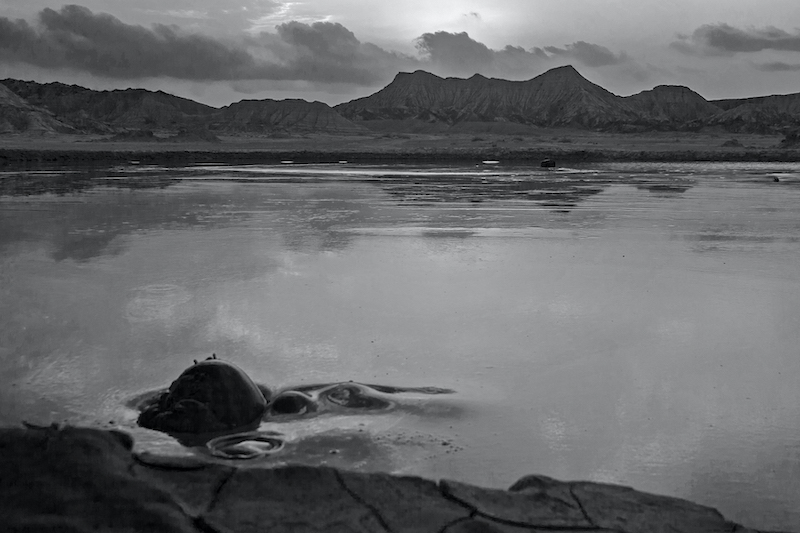
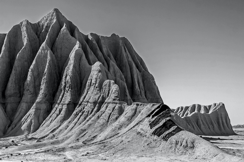
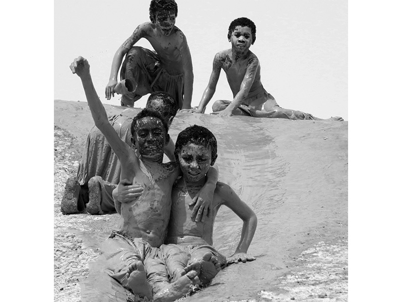
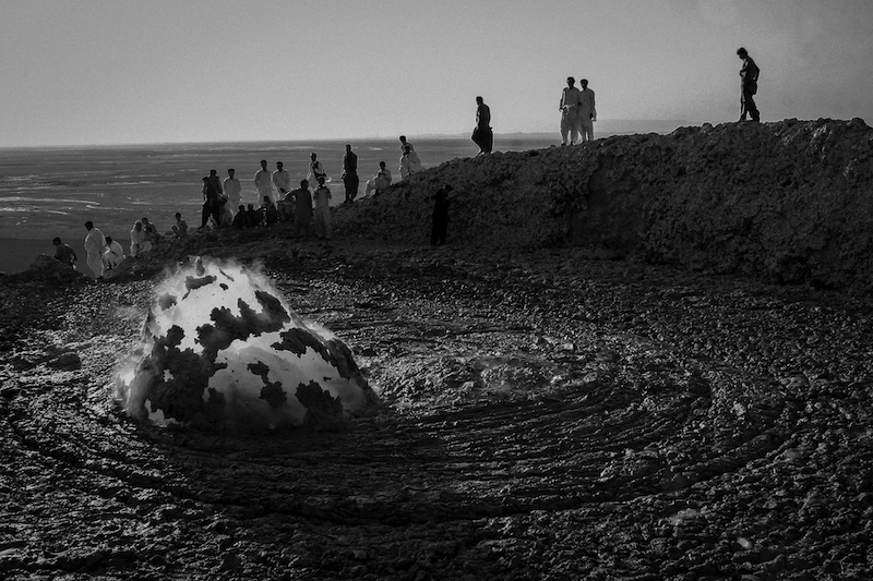
mud-volcano, hitherto considered to be an unusual geomorphological phenomena of Sistan & Balouchestan province, lies in the Siyah Bandan mountain range, stretching to the east of Bazman and the south – west of Khash. The mud-volcano is a 127 meters above the surrounding countryside and a maximum height is 1667 meters above the sea level. There are seven active craters and three or four latent cones at present. It is located in a marl sequence of rocks extending over an area of nearly fifty hectares. Water erupting from the mud-volcano is saline, the mud being almost thin, with a dark gray color, and the exudation of carbon dioxide (co2) gas, is relatively nominal. No body has previously investigated the Pir-Gel mud -volcano and it is not marked on the geological map of Iran. By the absence of published data, the author has used his13-year-accrued practical knowledge of field work carried out on mud-volcanoes elsewhere in the province to study the Pir-Gel mud-volcano.


